


")

Related keywords
Subscribe
Subscribe to our mailing list to receive updates.
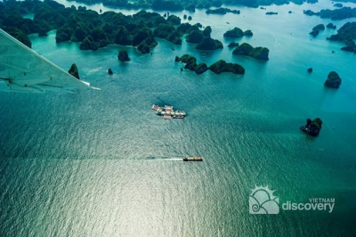
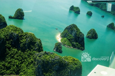
New & majestic Halong Bay from a seaplane
|
Located in the
Vietnam’s North-East region and in the Gulf of Tonkin,
Halong Bay is a complex of the Halong City, the
Cam Pha township along with a part of the island
district of Van Don. The bay shares the borders with
Cat Ba Island in the southwest, the East Sea in the east, and the mainland, creating a 120 km coastline.
According to the statistic, Halong Bay comprises 1,969 island of various sizes and shapes, of which 989 have been given names. Islands are categorized in two kinds of limestone and schist, which are allocated in two main zones: the southeast (belonging to Bai Tu Long bay), and the southwest (belonging to Halong Bay) respectively. The densely concentrated zone of stone islands is well-known for its spectacular scenery of grottoes and caves, forming the central zone of picturesque Halong Bay, a UNESCO World Heritage Site. 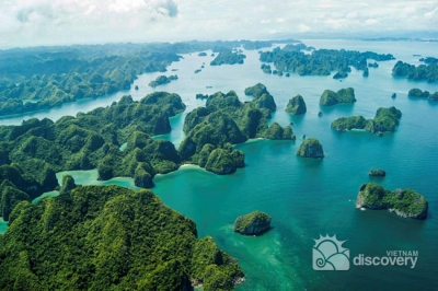 Halong Bay in view from seaplane Stretching the total area of 43,400 ha with 775 islands, the Halong bay itself draws a triangle with the Dau Go Island to the west, the Ba Ham Lake to the south and the Cong Tay Island to the east. |
Other services
Quick Links
Resources